
By mid 1921, the construction of the Becontree Estate and the enlargement of Dagenham was gathering pace. The photograph below shows an aerial view of the west of the estate looking north to Chadwell Heath. The two prominent roads running parallel to the bottom of the photograph and diagonally to the right are Longbridge Road and Beacontree Avenue respectively.
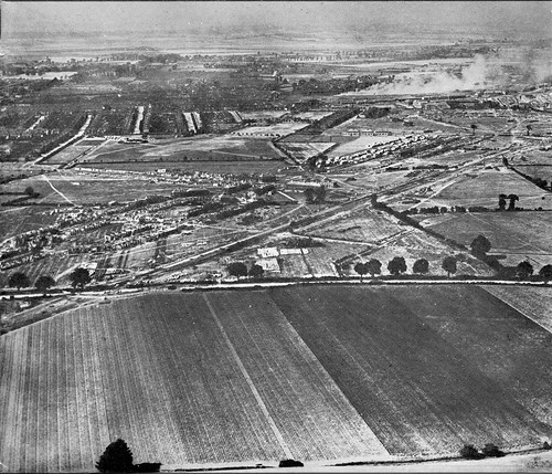
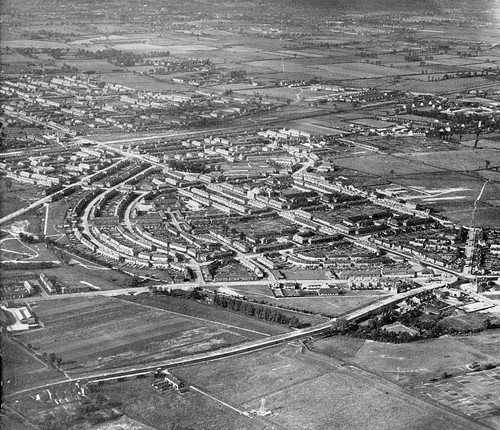
In the middle distance some of the housing is beginning to take shape, although large areas of land are still open fields. It took a further ten years before some of the more recognisable features of Dagenham were constructed. The second photograph has the Heathway running diagonally down, left to right. Just visible before the great sweep of Downing Road, and towards the top of the photo is a partially constructed Heathway Hill. Heathway station still being a year or so away from opening at this point.
Another random dip into the past next week…
The A13 is about where the bottom road runs (the diagonal one across the bottom of the second picture).